Ah, the idea of a summer road trip! Destination: somewhere close enough to drive, yet far enough to escape.
Whether you are chasing a cooler climate in the northern part of the state or venturing through the desert stretches to cross Arizona borderlines, we hope it is a journey filled with excitement and curiosity. That said, have you ever wondered how certain places in Arizona (large and small) got their ‘odd’ names?
Back in 1928, author Hoffman Birney completed a 7,250-mile loop around the American West in a Chrysler roadster named Betsy. This adventure took him across Arizona, the Four Corners, the Rocky Mountains, the Mojave Desert and California’s Eastern Sierra.
Undoubtedly, his journey took him through places in our state with unlikely names. During his expedition, he photographed and documented his experiences in a much adored, much later, book called Roads to Roam, with no thoughts of publishing in mind at the time. Something unplanned, yet later remarkable.

In hopes of adding interesting facts to your summer 2024 road trip, and for those who long to ‘get lost’ in a bit of history about our state, we are sharing eight unique places and their names, for you to add to your vacation chronicles this summer.
- Barbershop Canyon – Located east of Rim Road near Mogollon Rim, east of Payson. This specific area within the canyon currently offers hiking near a running creek for outdoor enthusiasts. Rewinding the clock reveals that it is an area believed to have been.
traveled by both shepherds and their flocks, with a stopping point for the sheep to be sheared accompanied with a makeshift barber for the men.
- Bloody Basin – Located on Interstate 17 between Flagstaff and Phoenix, this strangely named exit is believed to be named from a violent conflict between settlers and American Indians.
- Cornville – A small town near Sedona is not named for its corn. The town was intended to be named Cohnville, after a family named Cohn. When the Cohns settled in the area, they applied to have a post office within their general store, but when the paperwork came back to them from Washington, D.C., it read “Cornville.” The typo was not corrected, nor was the town ever renamed.
- Fool Hollow Lake – Located near Show Low, Ariz., settler Thomas Adair unknowing bought land unsuitable for farming; nothing would grow in the area. His not-so-friendly neighbors nicknamed the area Fool Hollow in spite of him. Eventually a dam was placed where Show Low Creek and Fool Hollow met, and a 150-acre lake was formed. The lake remains today.
- Nothing – Located west of Wickenburg, Ariz. on U.S. Route 93, the town once consisted of two buildings, four people, one gas station, and a rock shop. The town was eventually abandoned and then revived by the owners, who irregularly make wood-fired pizzas in a trailer-mounted oven for passersby’s. Former residents in the town put up a sign that reads, “Through the years, these dedicated people had faith in Nothing, hoped for Nothing, worked for Nothing, all for Nothing.” These factual tidbits make Nothing something to talk about!
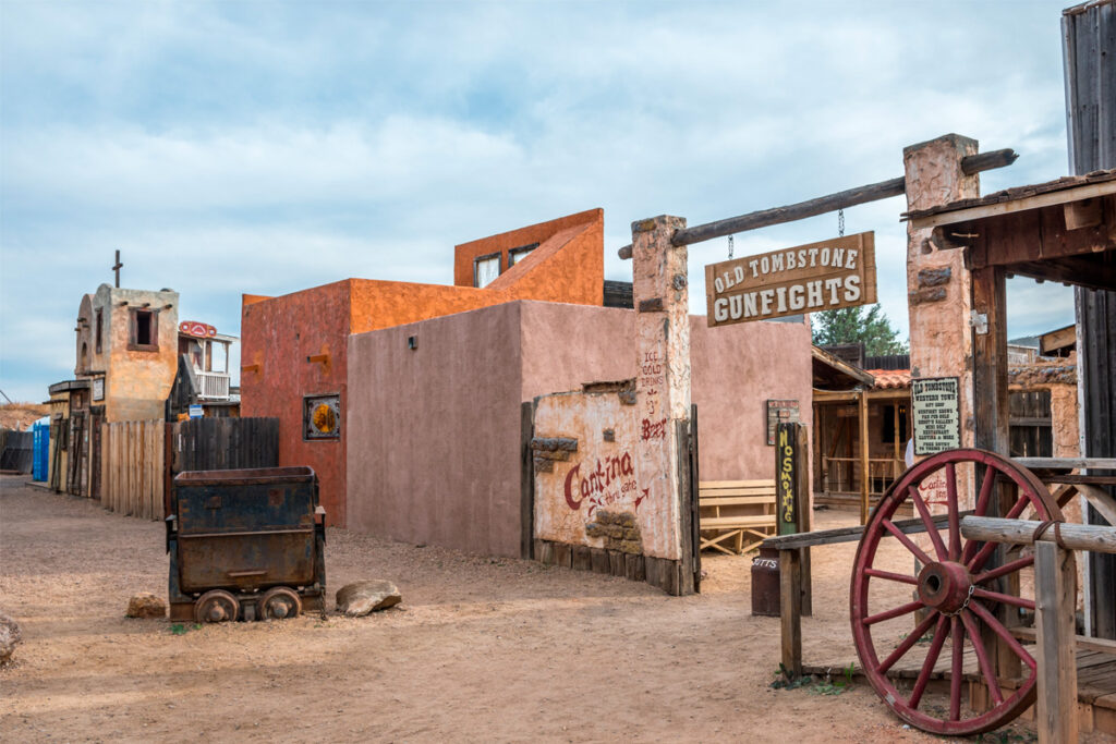
- Tombstone – Located in Cochise County, close to the Arizona/Mexico border, this spot on the Arizona map was founded by prospector, Ed Schieffelin, back in 1879. Warned by his companions about meeting hostile Apache along the way, possibly resulting in his death, Ed set out alone to explore the area. Rather than meeting his own death (or finding his own tombstone), he discovered an area rich in silver that generated millions of dollars of ore in a brief period of time.

- Tortilla Flat – Located in Eastern Maricopa County. The drive out to this unincorporated landmark takes you through twisting roads and switchbacks with beautiful desert views along the way. The area, nestled deep within the Superstition Mountains outside of Phoenix, boasts a large number of flat-shaped rocks, possibly a feature for naming the place.
However, Connie Phelps, owner of the town in the late 1940s, tells a story of cowboys stranded in the area due to a flash flood. As the story goes, the men ran out of food, waiting for the water to recede. Using one of their only remaining food resources, flour, the stranded men made tortillas to hold them over as they camped among the rocks for several days.
- Why – Located in Pima County at the intersection of two major Highways 85 and 86, that used to be a mere ‘Y‘ in the road. At the time the town was named, state law required all city names to have at least three letters. The town’s founders name is ‘Why’ instead of merely referring to it as a ‘Y’ dividing the highways. The intersection has since been removed and replaced with two highways. It remains a conversational piece for travelers today, who can grab refreshments and knick-knacks in the Why Not Travel Store.
Whether you are seeking adventure, like author Hoffman Birney did back in 1928, or simply in need of some modern-day travel trivia to keep the kids from asking, “Are we almost there yet,” we hope you enjoy these historical tidbits that reveal meaning behind some of Arizona’s landmarks.

